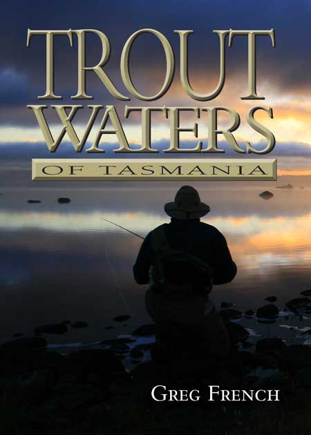
It’s here! The updated version of Greg French’s Tasmanian Trout Waters (2002) is due for expected release in July 2011. It’s been nearly a decade since TTW was published, and the book has since became known as ‘the bible’ for anyone wishing to know where and when to fish in Tasmania.
The comprehensively re-worked 2011 edition, titled Trout Waters of Tasmania, has evolved even further to include more waters, and features an even greater coverage of the great Tasmanian river fisheries. We’ve been proud to help Greg out with new features, including comprehensive river level references for the northern rivers, and awesome maps of the Meander, Mersey, Macquarie, St Patricks and Brumbys Creek. The Brumbys Creek Top Weir map is priceless, clearly displaying the best fishing areas, which are the floodplains that inundate during periods of high flow.
The lake maps have been re-worked also, and now show the shorelines at full supply levels, average levels, and low levels. These maps alone make the new Trout Waters of Tasmania an invaluable purchase.
Available now for purchase from FlyShop 1864, our sister business and fly shop.

